
CHP urges caution as Bakersfield faces rain, active flood watch
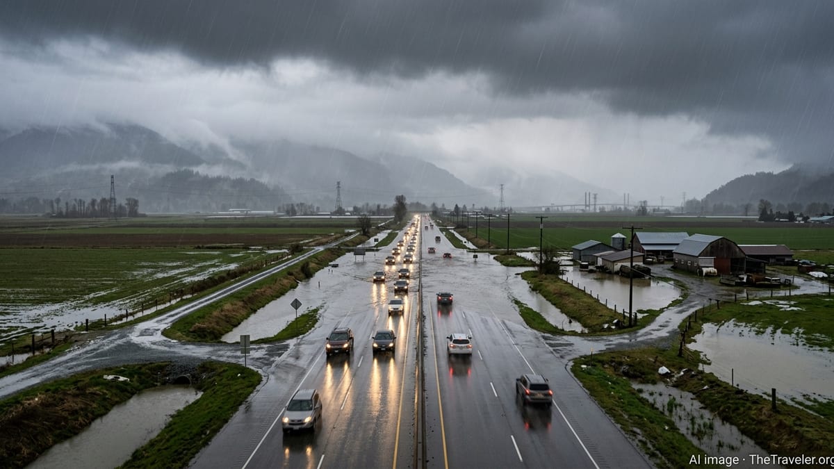
Heavy rain and a National Weather Service flood watch are prompting fresh travel safety warnings for drivers across Bakersfield and Kern County. Steady rain and a National Weather Service flood watch in effect for Bakersfield and greater Kern County, California, are prompting renewed travel safety warnings for drivers across Bakersfields and Kern County. The Flood Watch is in effect from Wednesday morning, October 21, through the evening of Thursday, October 22, and covers the city of Bakersfeld, Buena Vista, the South End of the San Joaquin Valley, and major travel routes including the Buttonwillow to Lost Hills stretch of Interstate 5, the Grapevine area, and Tehachapi passes. Forecasts indicate a deep surge of subtropical moisture bringing periods of moderate to heavy rain, with showers and a slight chance of thunderstorms through late Thursday. The watch also highlights the potential for flash flooding where storms repeatedly move over the same locations. California Highway Patrol advisories for Kern County emphasize slower speeds, greater following distance, and extra time for trips in and out of Bakerfield. Public information from state transportation and safety agencies also highlights an elevated risk around construction zones where lane shifts, narrowed shoulders and temporary barriers reduce room for error. Key routes around Bakersaterfield are identified as at risk for flooding. The current flood watch is categorized as a severe alert for the Bakers field, with potential for localized flooding through at least 8 p.m. Thursday.
Publié : il y a 2 jours par Jolyon Zivkov dans Weather
Steady rain and a National Weather Service flood watch in effect through Thursday evening are prompting renewed travel safety warnings for drivers across Bakersfield and greater Kern County.
Publicly... [8318 symbols]
